Create your own dive route
Share what you discover underwater.
Along the piers, from wreck to wreck, to that one spot you keep coming back to: put your route on the map, with compass headings, distances and landmarks. For yourself, and for every diver who wants to swim it after you.
Start right away, no account needed. Log in only when you save or publish.
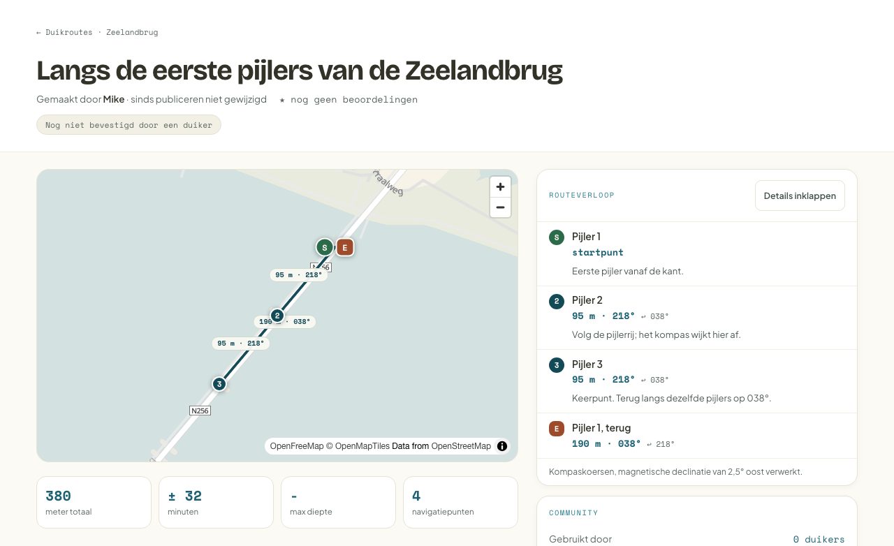
Popular dive routes
Plotted by divers, dived and confirmed by divers.
No routes online yet. Yours could be the first.
Create the first routeOn the map in a few minutes
Choose your entry
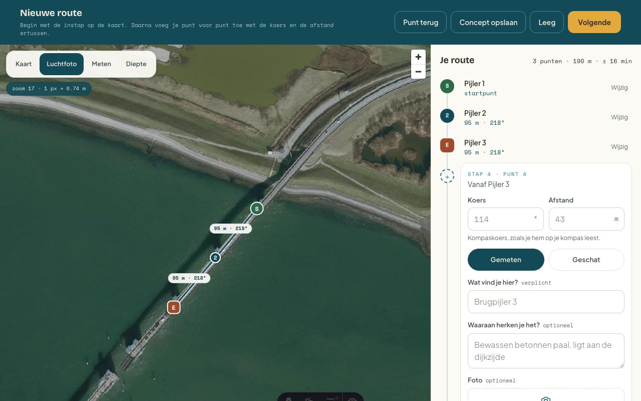
Find the dive site and tap where you get in.
Place your points
Tap them on the map or enter heading and distance. We calculate the compass heading and return heading, declination included.
Make them recognisable
A name, a short note and a photo: the next diver finds every point again.
Publish
Add depth, parking and things to watch out for. Your route gets its own page to share.
Routes that stay accurate
Confirm
Dived it and still accurate? One tap, and everyone sees the route is up to date.
Rate
Stars show which routes are worth it.
Report
Something changed underwater? The creator is notified and other divers see it straight away.
A route helps you plan; you always judge the conditions on the day yourself.
Which route do you know?
Every route makes the map richer. Start with the one you know best.